
Philadelphia is a city where American history is etched into every brick. But its true modern pulse beats far beyond Independence Hall. You can feel it in the rhythmic spin of pedals and the steady pace of thousands on the Schuylkill River Trail (SRT). This isn’t just a paved path along a river. It is an artery that breathed new life into a post-industrial landscape, transforming the “Hidden River”—as early settlers called the Schuylkill—into the premier stage for urban activism, health, and ecological rebirth. Why does the SRT consistently top the rankings of America’s best urban trails? The answer lies ahead at iphiladelphia.net.
Born from Ashes and Oil
The origin story of the Schuylkill River Trail is a classic American drama about tearing everything down to the ground, only to heroically transform the ruins into a national treasure. To understand how crazy the idea of this bike path seemed in the 1970s, you have to imagine the Philadelphia of that era. It was a city that systematically and with a certain cynicism cut itself off from the water with steel fences, coal dust, and massive highways.
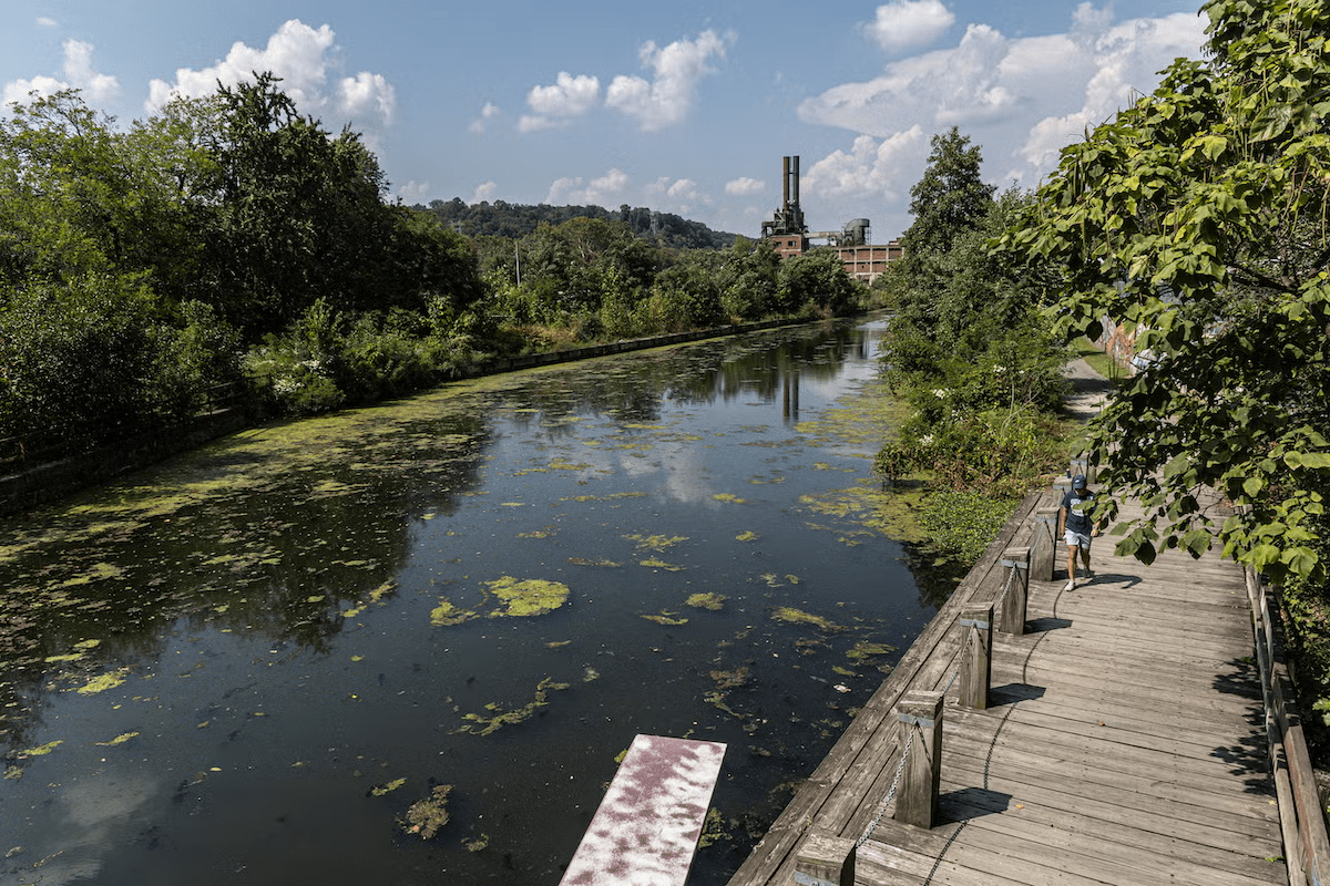
In our case, the irony is that the city that gave the world the Declaration of Independence managed to “lose” an entire river for a century. The Schuylkill, whose name translates from Dutch as “Hidden River,” lived up to its name 100%. By the mid-20th century, it was so obscured by factory fences, coal terminals, and railroad tracks that most residents perceived it not as a waterway, but as an annoying obstacle on the way to the suburbs.
This neglect turned the Schuylkill by the 1950s into a thick soup of coal soot and industrial waste. While other cities were building waterfronts, Philadelphia was building factories. The banks of this long-suffering body of water belonged to railroads and mills. If you had told a typical Philadelphian in 1960 that forty years later people would pay a premium to rent lofts with a view of this “ditch,” they would have politely (or perhaps not so politely) suggested you have your head examined.
Prophets in Shorts
The vision for the SRT wasn’t the epiphany of a genius architect. It was a grassroots initiative. In 1974, the Schuylkill River Greenway Association (SRGA) was established. Its founders were essentially ecological guerrillas. While city officials were busy trying to save the remnants of industry, these people saw potential in the abandoned tracks of the Reading Railroad.
The idea was simple yet seemingly impossible: use the “Rails-to-Trails” concept. This movement was just gaining momentum in the US. The main challenge was that the banks of the Schuylkill resembled a patchwork quilt of private property. Railroad companies, even in bankruptcy, clung to their land with the tenacity of a drowning man. However, the 1972 Clean Water Act acted as a legal battering ram. The river began to be cleaned, and suddenly, beneath the layers of oil and grime, a picturesque waterway emerged.
The First Mile is the Hardest
Fun fact: the early sections of the trail were disjointed and led “from nowhere to nowhere.” In the 70s and 80s, these were more like wooded paths in the suburbs than an urban highway. The real turning point came in the 90s when the Schuylkill River Development Corporation (SRDC) took charge.
They realized that the SRT had to be more than just a walking path; it had to be a legitimate transportation alternative. And here lies the true Philadelphia irony: to build a path toward freedom and health, engineers had to use the same methods that once ruined the river. Fortifying banks, building overpasses, and tunneling under active Amtrak tracks required hundreds of millions of dollars and decades of permits.
The Great Boardwalk and Architectural Sarcasm
The most ironic and difficult phase was building the segment in Center City. The space between the water and the CSX railroad tracks physically did not exist. Any other city would have given up, but Philadelphia decided to build a road right in the river.
The opening of the Schuylkill Banks Boardwalk in 2014 was the project’s apotheosis. This concrete deck on pilings became a symbol of victory over industrial geography. The cost of this small section was astronomical, but the result justified it all: the city finally regained the water access that had been taken away during the age of steam and coal.
Facts That Sound Like Fiction
- The Invisible River. Until the early 2000s, many South Philly residents didn’t even know how to get to the Schuylkill because it was completely walled off by industrial zones.
- Railroad Heritage. The SRT follows the same routes that once carried the anthracite coal that fueled America. Today, those same grades and turn radiuses, designed for heavy trains, make the trail perfect for high-speed cyclists.
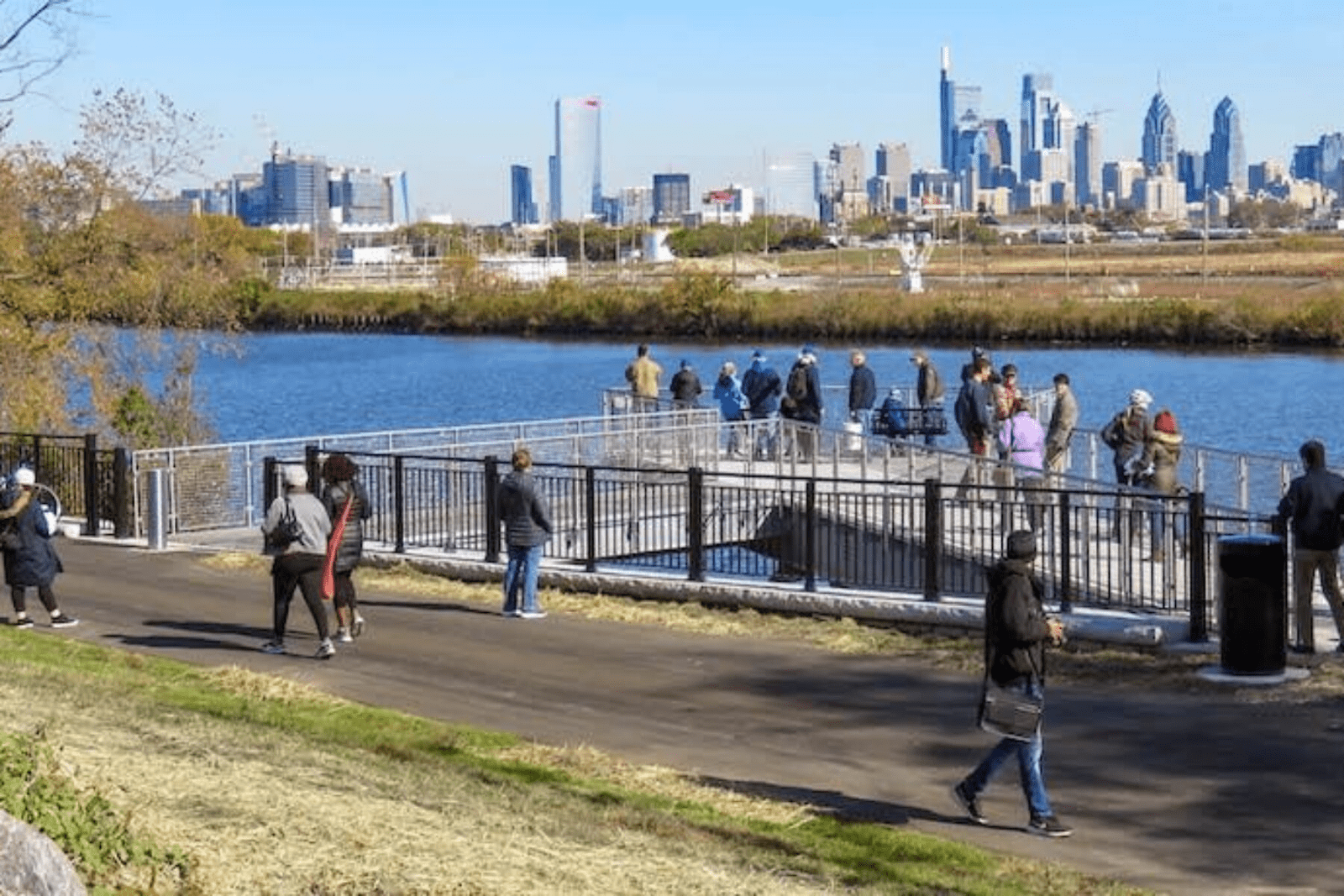
- Ecological Comeback. In the 1940s, there was so little oxygen in the water that fish couldn’t die there because they couldn’t even begin to live there. Today, the SRT is a place where in 2026, you can spot otters and bald eagles right against the backdrop of the Comcast skyscraper.
The history of the SRT isn’t a story about a love for sports. It’s a story about a city admitting its mistakes. It’s a story of penance toward nature that turned into one of the best investments in Pennsylvania’s history.
A Route that Changes Scenery
The SRT is a journey through “three revolutions”: the American, the Industrial, and the Ecological. The trail constantly shifts its character:
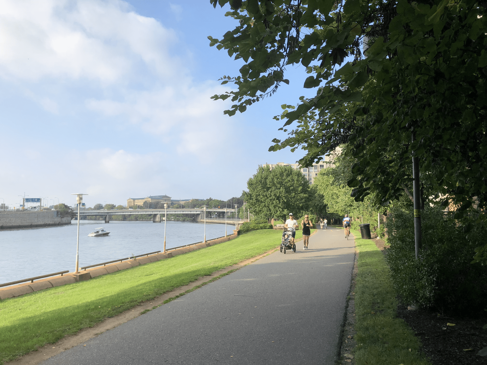
- Schuylkill Banks (Center City). A modern waterfront with skyscraper views. This features the famous Boardwalk—a 2,000-foot concrete structure built directly over the water, allowing you to literally “ride on the river.”
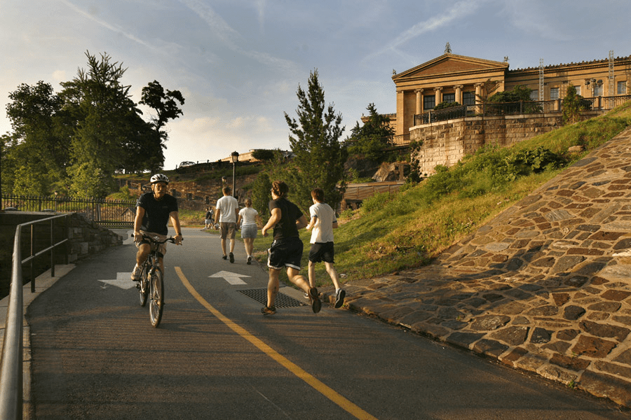
- Boathouse Row. An iconic stretch near the Philadelphia Museum of Art. At night, the Victorian rowing houses are illuminated by thousands of lights, creating a fairytale atmosphere.
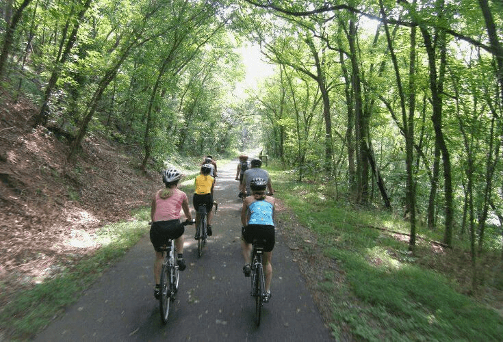
- Kelly Drive. A favorite stretch for sprinters and pro cyclists, winding through the picturesque Fairmount Park.
- Valley Forge. Further north, the path leads to Valley Forge National Historical Park, where you can combine a workout with a history lesson on the Revolutionary War.
Recognition and Awards
Why does this path constantly trend in Google searches for the best outdoor spots?
- #1 Urban Trail. In 2015, the SRT was named the best urban trail in the US.
- Environmental Excellence. In 2019, the trail expansion project received the Governor’s Award for Environmental Excellence.
- Accessibility. The path is perfectly integrated with the SEPTA public transit system, allowing cyclists to easily combine their rides with regional rail.
Tips for Visitors
- Keep to the Right. The trail is extremely popular, so always stay to the right to allow faster riders and runners to pass.
- Night Lights. The Boardwalk section is equipped with solar lighting, making evening rides both safe and incredibly romantic.
- Hydration. There are many water fountains and rest stops, such as Lloyd Hall, along the route (especially within city limits).
Schuylkill River Trail by the Numbers
| Parameter | Current Status | Future Perspective |
| Total Length | ~75 miles (ca. 121 km) open | 120 miles (ca. 193 km) (to Frackville) |
| Surface | Asphalt, concrete, crushed stone | Fully connected corridor |
| Annual Usage | Over 20,000 users per year | Growing with network expansion |
| Difficulty | Easy (flat terrain) | Accessible for all fitness levels |